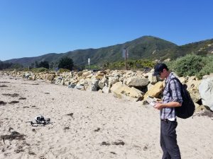
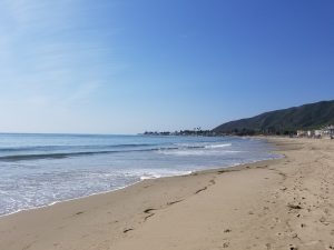
Chase and I headed out around 13:00 on Friday the 13th, Oct to map a beach in northern Ventura County, Mondo’s beach. Monitoring beaches over a season is important to show the changes in the littoral zone. Without incident, in great weather, we mapped the beach with a DJI Inspire 1. Chase in control of the Inspire planning his flight.


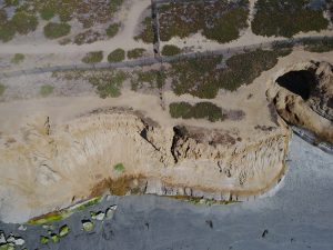
Cliffs are perhaps the most susceptible beach feature to erosion. In Carlsbad, Ca there is a great example of eroding cliff sides next to the development. The Cliffs at Terra Mar a foreboding wall that the ocean is in constant conflict with. The cliffs have changed dramatically over the years with a steady loss of area of the cliffs and an increase in the lack of available beach access. The cliffs are impacted by several factors. The lagoon to the north about a mile would be a key source of sediment during the winter months. However, the lagoon has been hardened and the river upstream has been dammed. While there is dredging of the lagoon to facilitate the needs of the power facility and desalination plant nearby this does not eliminate the effects of the changed conditions on this lagoon. The Cliffs are also being impacted by the heavy winter storms. With less content in the littoral zone large waves on a high tide break right on the cliffs. This causes undercutting and eventually erosion of the cliffs. I am using these cliffs as a test bed for perfecting my mapping skills. With my DJI Mavic Pro in hand, I set out two days in a row to map the full extent of these 2~KM cliffs from the edge of the houses atop Terra Mar point to the south where the cliffs come to a low point.


-Matt