There are many steps that go into preparing, flying, and maintaining an Unmanned Aircraft. But there is one such task that no one can ever fully pre-plan or truly prepare for. It is something that springs from a drone pilot’s worst nightmare; a midair malfunction.
A crash.
A boom.
A biff.
#dronecrash
Whatever we want to call it, it amounts to a failure of one of the most reliable small aircraft on the market. Today’s amazing modern technology and our ever-improving engineering prowess which birth these innovations are constantly conspiring to push crashes into the “unheard of” category. But alas, tech can always die. And this is exactly what happened on a routine beach erosion monitoring project last week. The mission was one that I had flown a plethora of times and it a beach that our whole team was very comfortable with. Our team of five had taken a drone out monthly to map this topography for more than two years. The airframe appeared fine beforehand, with more than 750 flights to date (two of which that morning). The clear sky and essentially no wind translated into perfect flying weather. Simply put, conditions and procedures were safe, routine, and harbored no red flags.
The Mission
This mapping effort started as it always started with flying at the lowest tide of the day (in this case the low was at 1:42 pm). We always try to fly as close to low tide as practical to capture the greatest extent of beach in our mapped area. That expansive area is revealed post-flight back in the lab where we use a structure from motion (SfM) type of photogrammetry to transform our collection of individual shoreline photos snapped by the drone into a highly accurate three dimensional map.
I need to point out here that the weather wasn’t exactly typical when it came to temperature. It was a scorcher of a day with excessive humidity.
My first flight went on without a hitch. The vehicle rose to 40 meters, found its start point via the autopilot and flew along its pre-programmed flight plan. With a quick battery change the second flight did exactly the same just a 100 meters farther down the beach. My third flight proceeded as the first two, but I want to highlight a small glitch in that third flight (but don’t hold your breath quite yet). About halfway into that third mission, the piloting app crashed on my mobile device. A clue you may be thinking?!? Well, probably not. We (and most mappers we talk to) often experience an app crash. In this particular situation the drone kept flying along its predetermined path, the onboard flight instructions uninterrupted by the interruption. The only downfall during such glitches is the potential loss of a few aerial photos as the photo-triggering signals are temporarily interrupted. When the app rebooted, I saw some photos were indeed lost. This brings us to the fourth and final flight…where things go south.
What Went Wrong?
The third flight touched down a few meters away from me and (save for that minor hiccup of the app crash) all was well; both the drone and the data seemed good. With this last flight, I had nearly completed with the entire targeted stretch of the beach. I had only a tiny radius of un-photographed area. It would be a quick and easy two minute flight to fill in this minor gap. I brought out a fresh battery and replaced the drained one from the just-completed flight. The new battery clicked right in and I proceeded to power up the drone. I had the green light on the controller. The free flight route was planned, set-up, and was ready to fly. I pushed the sync to get the blades to run, then gently accelerated the lift and voila! The drone rose up into the air just as it had hundreds of time before. But less than a meter above of the sand the battery exploded (internally, that is…because “exploded” sounds much more dramatic than “shorted out”).
The aircraft took a hard left, flew a few meters and crashed hard into the sand. All of this happened within 5 seconds of liftoff. Suffice it to say a bunch of foul language was spinning throughout my head. I had just crashed a $3,000 piece of equipment! Now mind you I was extremely lucky to not have any physical damages to the drone, but after a short inspection, I came to the conclusion that the battery had fried the internal electrical components (or vice versa).
The Diagnostic
One of the best and most effective ways to begin to deal with accidents and malfunctions is to get a hold of a faculty member and explain everything that had happen from the events leading up to the failure, the location, and (most importantly) the exact state of the vehicle. Don’t be afraid to call and just explain what occurred. I was told to come back into the lab. Once there we began a lengthy conversation and our team was able to conclude that it most likely was a battery short that triggered a Critically Low Voltage Warning. Because of this, there was not enough power to the left two propellers. The battery itself was intensely hot and remained so for a good 3 hours after the crash. That damaged and now slightly swollen battery had to be carefully taken down to our battery bunker (located OUTSIDE all campus buildings in one of our secure spaces) where it would eventually cool to nominal temperatures.
It may seem daunting if this is your first major malfunction, but these things happen. And yeah I will admit that it sucks and feels absolutely terrible, but technical failure will haunt you at some point in your academic career no matter if you are a pilot or just simply a student doing a research project. Our AARR team knows It is OK to fail. With any failure we always have people around to help, and people to teach you how to be the best you can be.
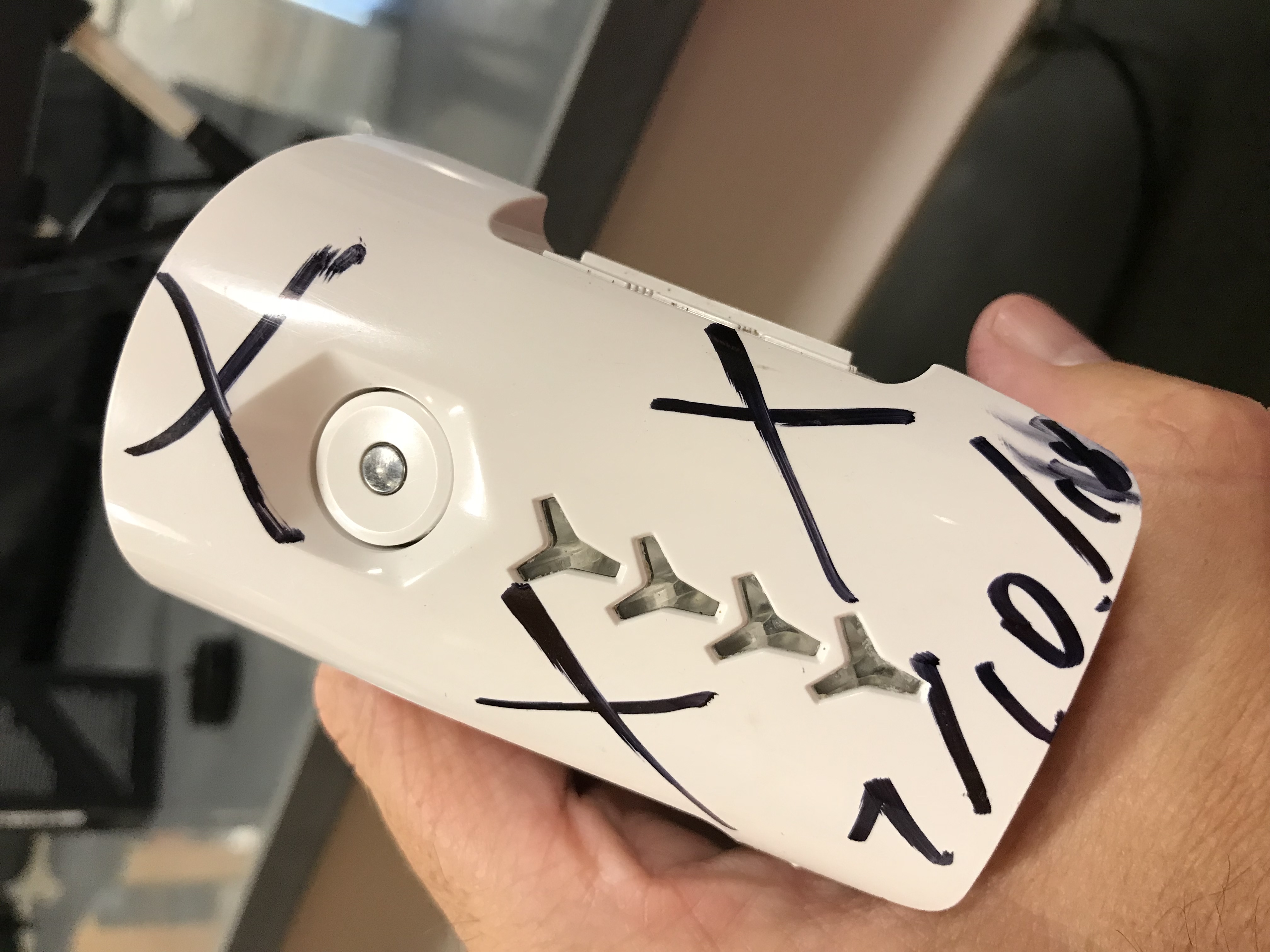
The Exploded Battery
As explained in the video, the battery is still very warm 2.5 hours after the flight.