Welcome to our second annual Drone Data Race!
Register HERE
What is a Drone Data Race?
In a typical Drone Race, contestants’ airframes sprint around a course with the goal of completing the circuit and crossing the finish line as quickly as possible. A Drone Data Race merges that same need for speed with an element of environmental data collection. Drone Data Racers seek to cross that finish line with additional information in tow, showcasing other aspects of drones beyond their quick rotors and agile handling.
Where?
Our races will take place in University Park on the campus of California State University Channel Islands. Please note that regular campus parking rates apply ($6 per day). CSU Channel Islands encourages carpooling to 1) minimize environmental impact and 2) stretch the limited parking spaces available at University Park.
Directions to our CSU Channel Islands campus as well as overall campus maps can be found here. Anyone looking to navigate to our Condor Field tarmac/check-in location can enter these (34.177360, -119.034510) coordinates or simply follow this link from GoogleMaps.
Additional site information is below within the “University Park Course” section.
When?
April 14, 2018. Registration/check-in will open at 9am with races beginning soon thereafter. We are anticipating the final runs will be concluded by 1pm. This event is one part of a week-long STEM celebration at CSU Channel Islands.
Our 2018 Challenge: Wildfire Response

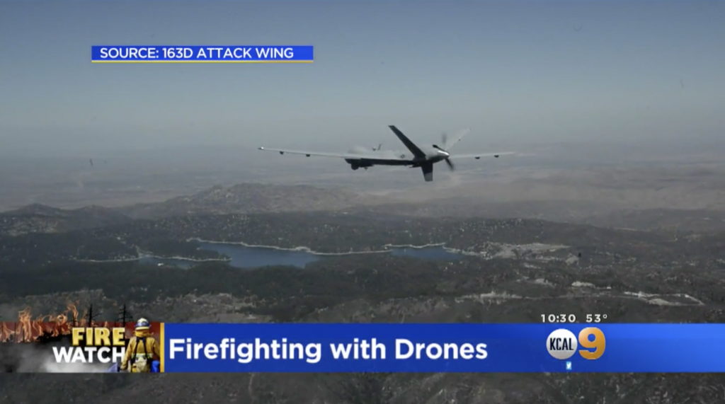
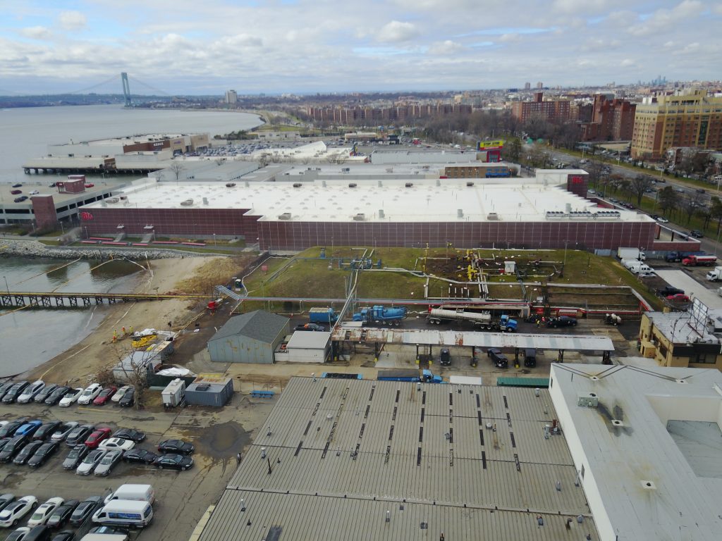
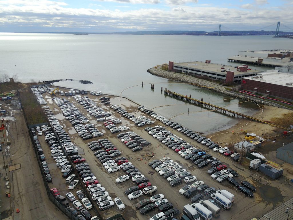
This year’s event will consist of two separate competitions. Both contests are grounded in challenges our Aerial and Aquatic Robotic Research Group frequently encounters; responding to unfolding natural disasters. One need not be armed with the most powerful, research-grade drones to make a difference when it comes the initial response to a disaster (see our work on the 2017 Thomas Fire, 2016 Hall Canyon oil spill, and 2015 Refugio oil spill for examples). Small, conventional camera-equipped, entry-level drones can collect very valuable information about a disaster quickly and help first responders swiftly understand what they might be up against as they begin to mobilize their response. See for example this 2017 story from New York wherein a commercial drone provided the first hint that a spill was happening and the use of large National Guard platforms to monitor the spread of the December 2017’s Thomas Fire.

Registered participants are eligible and encouraged to compete in both challenges, but may opt to participate in only one of the competitions if they so wish.
Challenge 1: The Burn Race
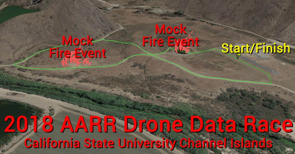
Our first competition is very similar to a “traditional” drone race. Competitors will complete two laps around a 1.3 km course, competing for the fastest time across the finish line while estimating the number of “burns” encountered along the course. Along the way racers will encounter an array of burned objects. Upon crossing the finish, pilots will report the number of burned objects. Pilots who correctly report the number of burned targets will suffer no penalty. For each incorrect burned object count, contestants will be penalized with an additional 30 seconds added to their official race time (with a maximum possible penalty of 60 seconds should both counts prove inaccurate).
Our Burn Race runs will be conducted first (beginning at ~9:30am).

Challenge 2: Burn Interpretation
The second competition centers on producing an elegant data product of the overall faux burn. While contestants will also be required to “run” the course for this second contest, their focus will be on high quality imaging of one focal region rather than on getting to the finish line first per se. Contestants will be time-constrained and so must return to the finish line within a prescribed number of minutes (roughly 7 minutes, although the absolute duration will be determined on race day based on the number of competitors who seek to compete/run the course for image collection).
Potential data products/interpretation created from your mapping run could include:
- 3D model of the spill site (e.g. hosted on SketchFab)
- volume of oil potentially released from barrels
- area/extent of spilled oil
- classification of vegetation/ecological communities potentially impacted
- oiled animals
- map of spill, relevant hazards, and infrastructure
Once their flight is complete, contestants will have until 5pm on Sunday (April 15) to submit their final data product via this Google Drive link. It is up to you to decide what your “elegant interpretation” of the burn will be. Contestants may pursue any approach they like, but the overarching goal is to communicate some quantitative aspect of the spill in a visually compelling manner. Creativity is encouraged. All submissions must include a descriptive title and the author’s name(s) at the top of the image. Any submitted images/files should be 91 x 122 cm with a minimum image resolution of 200 dpi. The file itself should be titled with the registered contestant’s last and first name (e.g. RODRIGUEZ_DONALD.jpg)
All contestants are welcomed to utilize our ESRM Program’s Geographical Information System (GIS) Computer Lab (Sierra Hall 2432) on Sunday (April 15) for image processing and analysis. The lab will be open from 9am to 4pm. Computers in the GIS lab are equipped with ESRI ArcMap and Pix4D photostitching software you are welcomed to use, but are by no means are required to utilize.
Note: We will host an optional introduction to Pix4D at the start of our Sunday (April 15) session for any contestant who is new to Pix4D and interested in exploring photostitching for their submission.
A panel of CSU Channel Islands faculty will evaluate the submissions and determine a winner by consensus by Tuesday April 17.
University Park Course
Our course lies within University Park on the campus of California State University Channel Islands. This 149 ha (367 ac) protected area along the eastern bank of Calleguas Creek is downstream from its confluence with Conejo Creek. Calleguas Creek is confined by 100-year old flood control levees emplaced to protect agricultural lands from seasonal flooding. The park is north of the rest of the campus core, separated from our University Glen faculty/staff residential community area via a ridge. Univeristy Park’s topography is characteristic of the foothills of the Santa Monica Mountains. Most of the course will trace existing trails/roads to minimize our impact.
Again, anyone looking to navigate to our tarmac/check-in location can enter these (34.177360, -119.034510) coordinates or simply follow this link from GoogleMaps.
Competitors
Our Drone Data Race is open to anyone interested in competing, but minors (under 18) must be accompanied by a parent or legal guardian. Contestants can register as a team (of unlimited size) but such multi-person teams may only fly a single aircraft in competition.
Aircraft
We will permit any class of small (<25 kg, 55 lbs) multirotor units in our competition, however various classes will have their strengths and weaknesses. Our Challenge 1 is best suited to racing drone-style quadcopters purpose-built to compete in more traditional first person viewing (FPV) competitions. Our Challenge 2 is best suited to entry-level mapping or prosumer-style, high definition (HD) camera-equipeed drones from the likes of DJI (e.g. Phantom or Inspire lines) and 3DR (e.g. Iris or Solo lines).
Registration
Contestants are encouraged to register by noon the day before the race, Friday April 13. However, registrations will be permitted the day of the race (April 14). Contestants will supply their own aircraft and equipment.
CSU Channel Islands students may be permitted to use AARR aircraft for Challenge 2 (but not Challenge 1) if they can demonstrate competency with the unit, have a FAA Part 107 certification, or have an equivalent credential (pilot’s license, etc.). Any student wishing to use AARR equipment should contact our AARR group directly and arrange for an evaluation prior to Friday, April 13.
To register, fill out this brief form here.
Pre-Registration (before noon on April 21):
- CI Student ($35)
- All Other Participants ($50)
Registration (after noon on April 21):
- CI Student ($40)
- All Other Participants ($55)
Note: viewing is free and those wishing to spectate need only pay for parking.
Please note that regular campus parking rates apply ($6 per day) and are not included in registration fees.
Prizes
Contestants will have three chances to win. Prize money will come from registration fees, software prizes have kindly been provided by Pix4D.
Drone Data Race Challenge 1: The Burn Race
1st & 2nd Place cash prizes.
Drone Data Race Challenge 2: Burn Interpretation
1st Place Pix4D License
Overall Drone Data Race Champion
1st Place Pix4D License
Why a Drone Data Race?
Drone racing (aka quad racing, FPV racing) here in southern California has been growing steadily over the past seven years. The bizarre and often baffling FAA airspace restrictions kept much of the action inside disused warehouses and industrial spaces for quite sometime. By 2014 we starting seeing informal outdoor events popping-up fairly regularly in parks and open spaces across our region. The last few years have seen the rise of more formal racing leagues and ever more well-organized, sophisticated races (AARR was even approached at one point about helping with a possible racing TV show). Drone racing enthusiasts across California, the U.S., and globe now have an abundance of indoor and outdoor races to satisfy their need to fly fast.
Speeding around turns and vying to break away from a competitive pack can be fun in and of themselves. And while we have seen many variants on going fast (course with tighter turns, LED-lined tracks for nighttime flight, forests as indigenous obstacle courses, etc.), virtually all these races have emphasized the single goal of finishing first. We have been a bit surprised to see so many drone races that emphasize speed and agility alone.
Our Drone Data Races seek to explicitly bring some of the increasingly powerful, diverse environmental sensors (HD cameras, infrared detectors, etc.) available to the general public into the racing mix. In so doing we hope to build awareness of the potential benefits of drone technology to ever-wider sectors of society and encourage hobbyists to become more proficient environmental data collectors.
Register for our race HERE!


