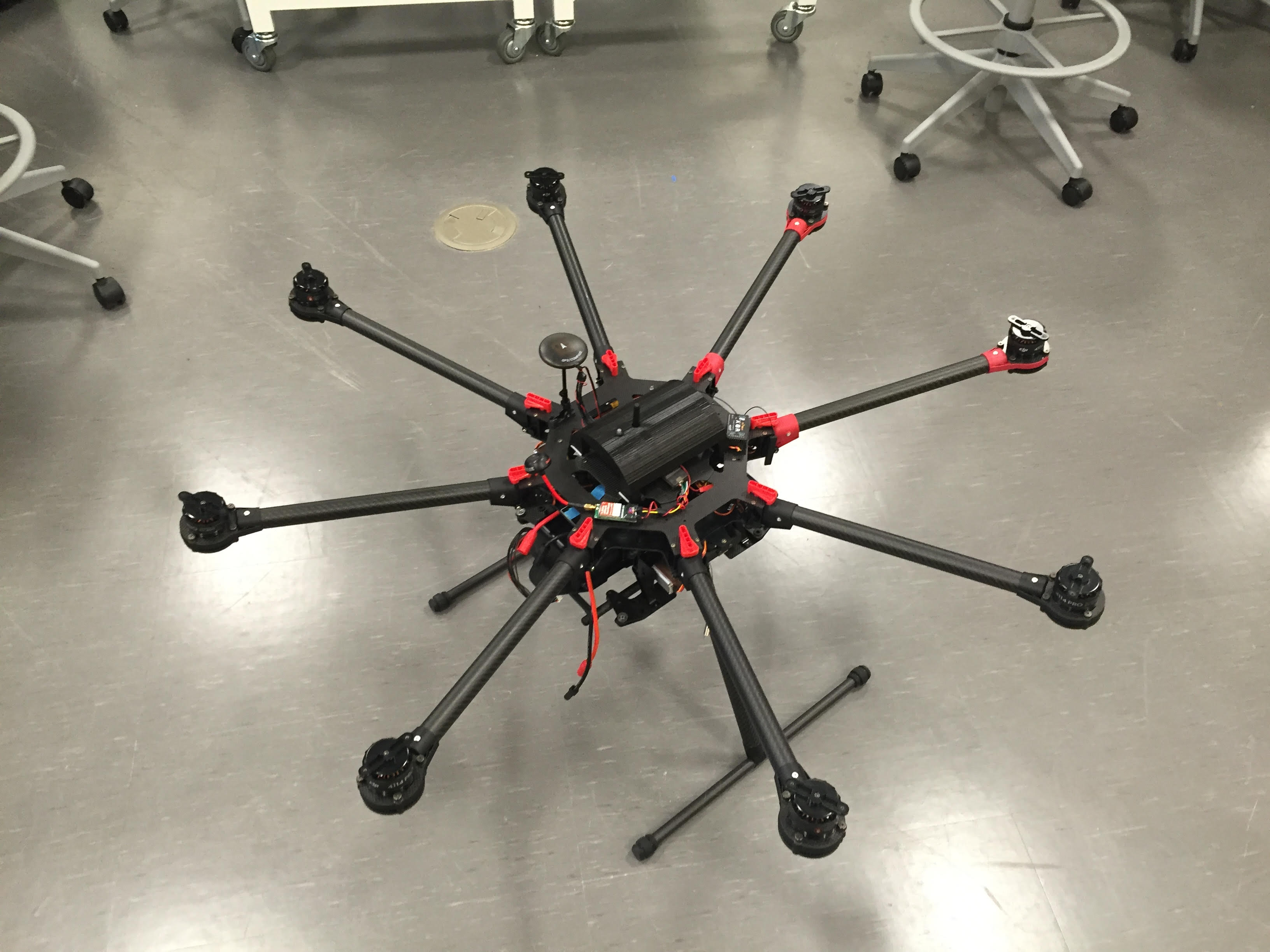
Our new aerial unit, the DJI S1000 Octocopter, is only a couple of tweaks away from completion. This unit was added to our ESRM aerial library to allow our new LiDAR unit to be used. The LiDAR unit will allow students to make 3D maps that have an accuracy greater than 1 cm/pixel, which is even better than our already great 3D mapping tool – the DJI Inspire 1. For my capstone, I will be doing a comprehensive comparison of 3D map creation using the LiDAR, the DJI Inspire 1, and even using the traditional survey method. This project should allow future 3D mappers and surveyors to quickly determine whether dishing out the few extra thousand dollars is really worth it for achieving the great accuracy created through using the LiDAR. Updates will be reported as I progress through this interesting project, whether they are more trials and tribulations, or when I finally see some success.